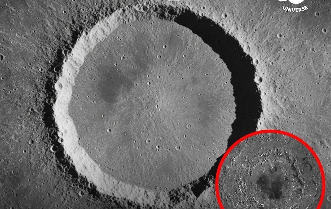
Images captured by Chandrayaan-2 have provided a detailed view of the historic landing location of Apollo 11 Moon Landing, showing the region where humanity first touched the lunar surface.

The Chandrayaan-2 orbiter, operated by the Indian Space Research Organisation, has been mapping the Moon from a polar orbit at an altitude of roughly 100 kilometres above the lunar surface. Using its high resolution imaging camera, it has photographed the Apollo 11 site located in the Mare Tranquillitatis region. The images reveal the landing area, descent stage hardware, and surrounding terrain with improved clarity compared to earlier observations, offering a modern perspective on one of the most significant locations in space exploration history.
In simple terms, what was once seen as a distant and grainy landmark during early lunar missions can now be revisited with far greater detail from orbit. The contrast between older and newer imagery highlights how advancements in imaging technology allow scientists to study surface changes, impact patterns, and long term exposure effects caused by solar radiation and micrometeorite activity. One research driven insight in lunar science shows that objects left on the Moon remain largely unchanged over decades due to the lack of atmosphere and weather, preserving them as time capsules of human activity.